Until recently, I thought that there were two rivers known as the River Dee – one in Scotland, and one in Wales (which is the one, plus its estuary, that this blog, The Dee and Thereabouts, centres on). But I’ve recently learned that altogether, there are five rivers named Dee: two in Scotland, one in Cumbria, one in Wales, and one in the Republic of Ireland.
River Dee, Aberdeenshire, Scotland.
This River Dee begins in an area of the Cairngorm Mountains known as the Wells of Dee. It’s the highest source of any river in the British Isles, the river source’s plateau being approximately 1,220 metres high. The river is 87 miles long and flows through Aberdeenshire, eventually spilling out into the North Sea at Aberdeen Harbour.
River Dee, Dumfries and Galloway, Scotland.
Another Scottish River Dee, this time in the south-west of the country. The river originates at Loch Dee in the Galloway Hills. It travels for 38 miles before reaching Kirkcudbright and then discharging into the Solway Firth on the Irish Sea.
River Dee, Cumbria, England.
This River Dee is formed by several smaller streams radiating from Blea Moor Moss, in the Yorkshire Dales National Park, in Cumbria[1]. The river travels through Dentdale, which takes its name from the village of Dent ,and flows for about ten miles before joining the River Rawthey, near the town of Sedbergh. (The River Rawthey is in turn a tributary of the River Lune, which eventually – after 50 odd miles – empties into Morecombe Bay).
River Dee, Republic of Ireland.
This River Dee flows from Bailieborough (Bailieboro) in County Cavan for 37 miles through County Meath and County Louth. The river joins the River Glyde at Annagassan village in County Louth, and both of these rivers then form a short confluence before they discharge into Dundalk Bay on the east coast of Ireland, out to the Irish Sea.
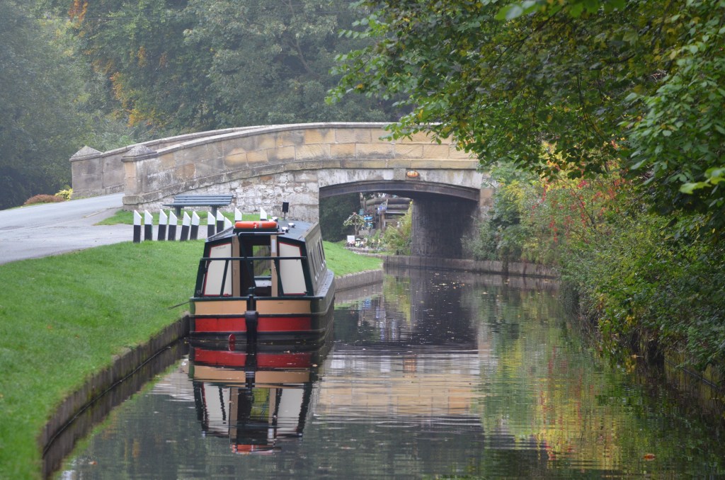
River Dee (Afon Dyfrdwy in Welsh), Wales.
This River Dee flows through several counties in North Wales: namely, Gwynedd, Denbighshire, Wrexham County Borough, and Flintshire; and briefly enters England at points in Shropshire and Cheshire. The Dee Estuary acts as a natural dividing line between the western side of the Wirral Peninsula, in England, and the eastern side of Flintshire, in Wales.
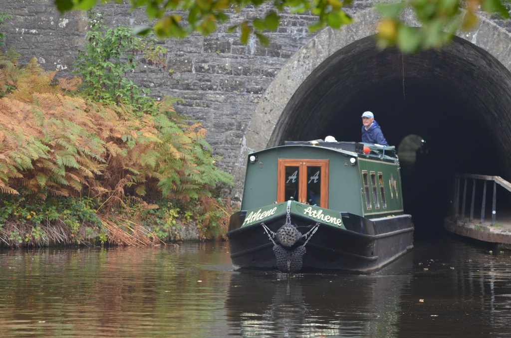
The River Dee’s source is on the mountain of Dduallt in Snowdonia, at about 450 metres high. The 68 miles of river flows through Bala Lake (Llyn Tegid), Corwen, Llangollen, Bangor-on-Dee, Farndon, and Holt. Once it reaches Chester, the River Dee becomes tidal and is noteworthy for its tidal bore which is usually produced during a spring or autumnal equinox, although tidal bores may occur at any time of the year if conditions are favourable.

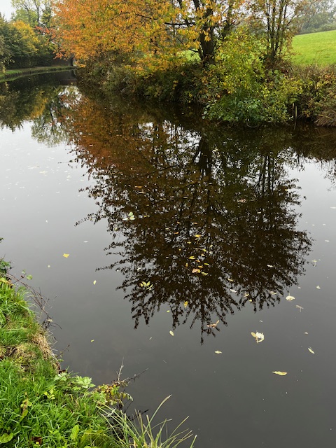
The River Dee at Chester…
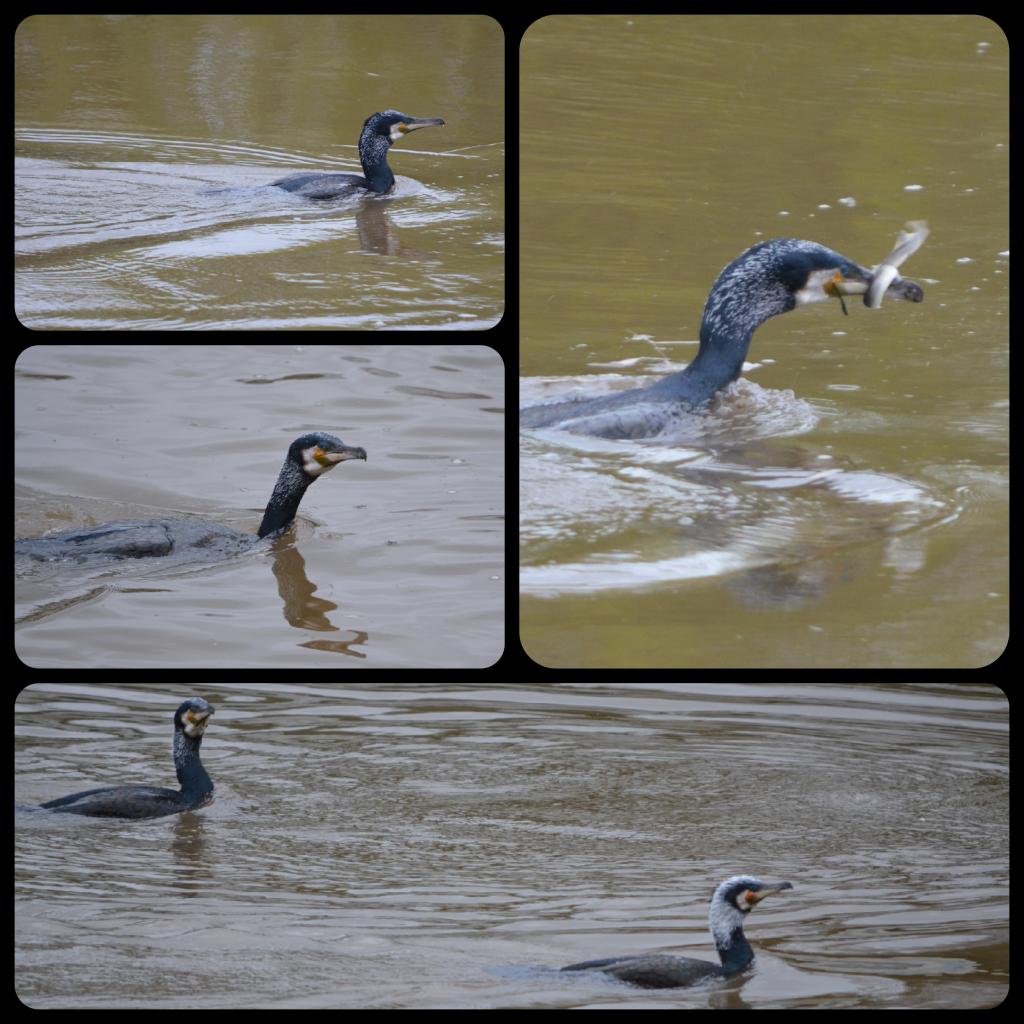
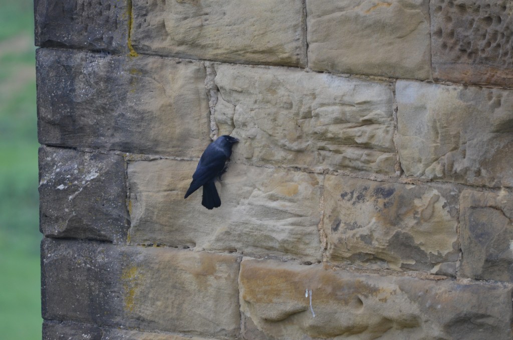
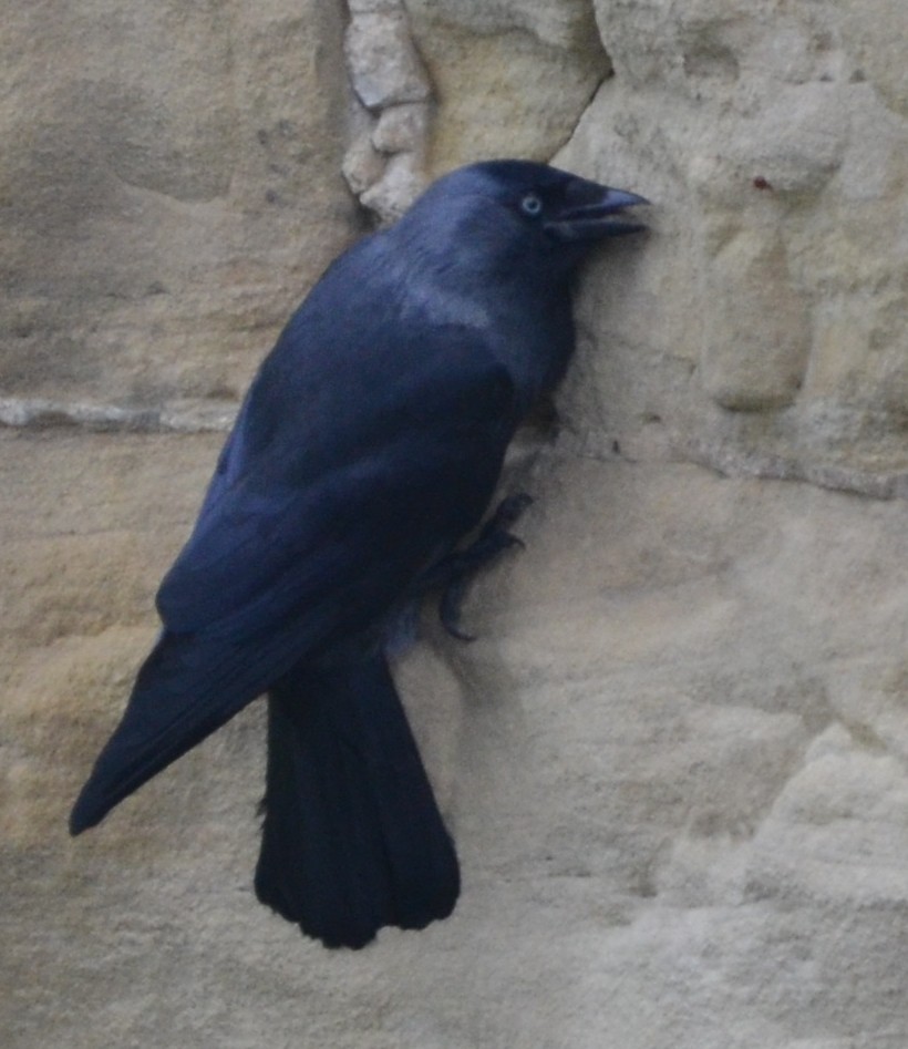
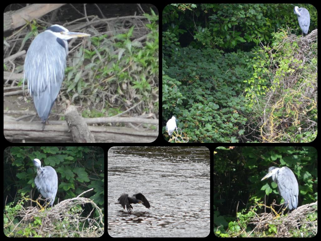
…and some local residents. (Above: Cormorants. Below: Grey heron
After Chester, the river crosses the border to Saltney, which lies mostly in Wales, although some of the town is in England, as the aptly named Boundary Lane reminds us. (Here, the border technically runs down the middle of the road! This is the only suburban street which divides England and Wales in this way). The River Dee travels on past Queensferry to Connah’s Quay, where it opens out into the Dee Estuary. The estuary itself is about 12 miles long and 4.5 to 5 miles wide: note that these are approximate figures, as information varies, depending on which sources you look at.
Towns on the Welsh side of the estuary include Flint, Holywell, and Mostyn. On the Wirral side of the estuary, lie Neston, Parkgate, Heswall, West Kirby and Hoylake. Just north of Talacre in Flintshire is the Point of Ayr, which is the northernmost tip of Wales, and between here and Hilbre Point, near Hoylake and West Kirby on the north-west of Wirral Peninsula is where the Dee enters Liverpool Bay on the Irish Sea.
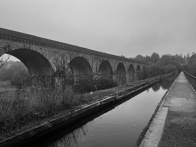
From Chester to Connah’s Quay, the Dee has a very straight ‘canalised’ section. This artificial channel was dug out by Dutch engineers between 1732-36 in an attempt to return Chester to its historic importance as a port. However, this was only partially successful as the River Dee eventually silted up again. The work also effectively diverted the river away from places it once meandered around, including Blacon, Saughall, Shotwick, Burton, and Parkgate.
Further reading
Much of the information for each of these Dee rivers was gained from just looking at the various maps available on Google Maps, OS maps, and Wikipedia. I also found the following sources useful:
https://chester.shoutwiki.com/wiki/River_Dee
https://www.keithatkinson.me.uk/history-of-shotton/5-the-river-dee-the-latchcraft-pits/
https://www.liverpool.ac.uk/~cmi/dee/dee1870.html
https://ntslf.org/tides/about-tides/tidal-river-bores
https://www.parkgatesociety.co.uk/
[1] I take a childish pleasure in reporting that there is a Mossy Bottom as well as a Hazel Bottom near Blea Moor Moss. And there you were, thinking I was all grown up!