(Sunday 8th March)
Midweek I saw my first butterfly of the year in the garden – a yellow (male) Brimstone. At last! I thought, the spring’s here. But another false alarm it seems. While this morning wasn’t quite a pea-souper, it was very misty when we set off to Loggerheads Country Park in Denbighshire, and we had resigned ourselves to not seeing much. But, of course, nature rarely disappoints.
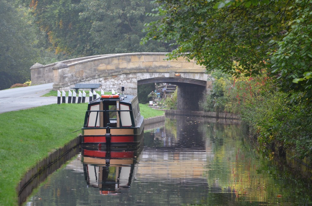
The undergrowth was still quite bare except for the odd clump of primroses and daffodils, although this will change soon, I’m sure. The River Alyn was flowing strongly, but less rapidly than last week, a sign of the recent reduction in rainfall locally. Funny how you notice these things!
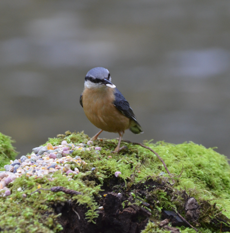
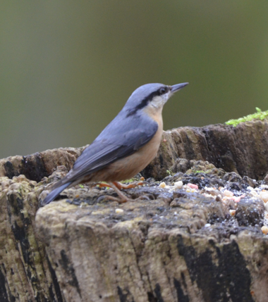
Nuthatch scanning its surroundings even as it feeds
Once again, there were Nuthatches feeding at the tree stump, looking like little aerial masked bandits. It was interesting to note that they approached the tree stump in stages, first flying from the tops of the trees along the riverbank to one of the trees closer to the stump. From here they scanned the area below to make sure it was clear, then they nipped down and grabbed some food in their beaks before darting smartly back. It looked like they were shoving one or two morsels into the bark of the trees, but Nuthatches are notoriously difficult to watch closely as they are so quick in their movements.
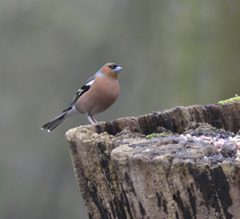
A Chaffinch appeared as soon as the Nuthatches were out of the way. With its lovely, striking vermilion chest and distinctive white wing bars and pale grey cap, this male Chaffinch certainly caught the eye. There was a female too, though she was not quite as colourful as the male – more brown than red, and with a patch of olive-green on her back – and she arrived and fed separately.
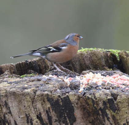
Chaffinch
The Chaffinch is sometimes known as the Bachelor finch: Fringilla Coelebs is its Latin name, Fringilla meaning finch or small bird, and coelebs deriving from caelebs meaning single, unmarried, or bachelor. This name was given by the Swedish biologist Carl Linnaeus who observed that it was only the females who migrated south from Sweden for the winter, while the males stayed behind near to their breeding grounds, often grouping together with other males. It’s possible that the females were actually distancing themselves from the males due to food competition – outside of the breeding season, the males are less likely to share food resources, apparently.
The more familiar English name Chaffinch is probably derived from the bird’s habit of rummaging through threshed chaff looking for grains of seed.
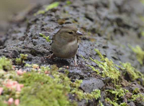
Female Chaffinch
In the United Kingdom, the birds tend to lay their eggs between late April and mid-June and, generally, Chaffinches will produce only the one brood each year. The lateness of these clutches being laid is thought to be a deliberate strategy as the much thicker foliage and vegetation that appear now helps to hide the nests and protect the chicks from predators.
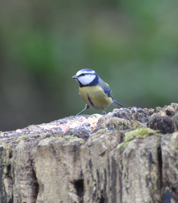
Blue tit
After the Chaffinches made their brief, separate appearances a small group of Blue tits descended from nearby branches and stole in to help themselves. We were then stalked by a Robin or two (we couldn’t quite work out the numbers) all the way back to the café.
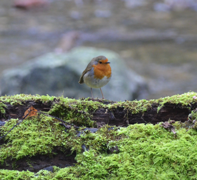
This Robin stalked us along the Leete path!
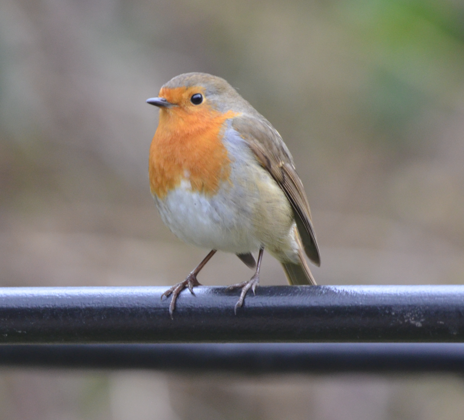
This one just came to say hello!
The important stuff
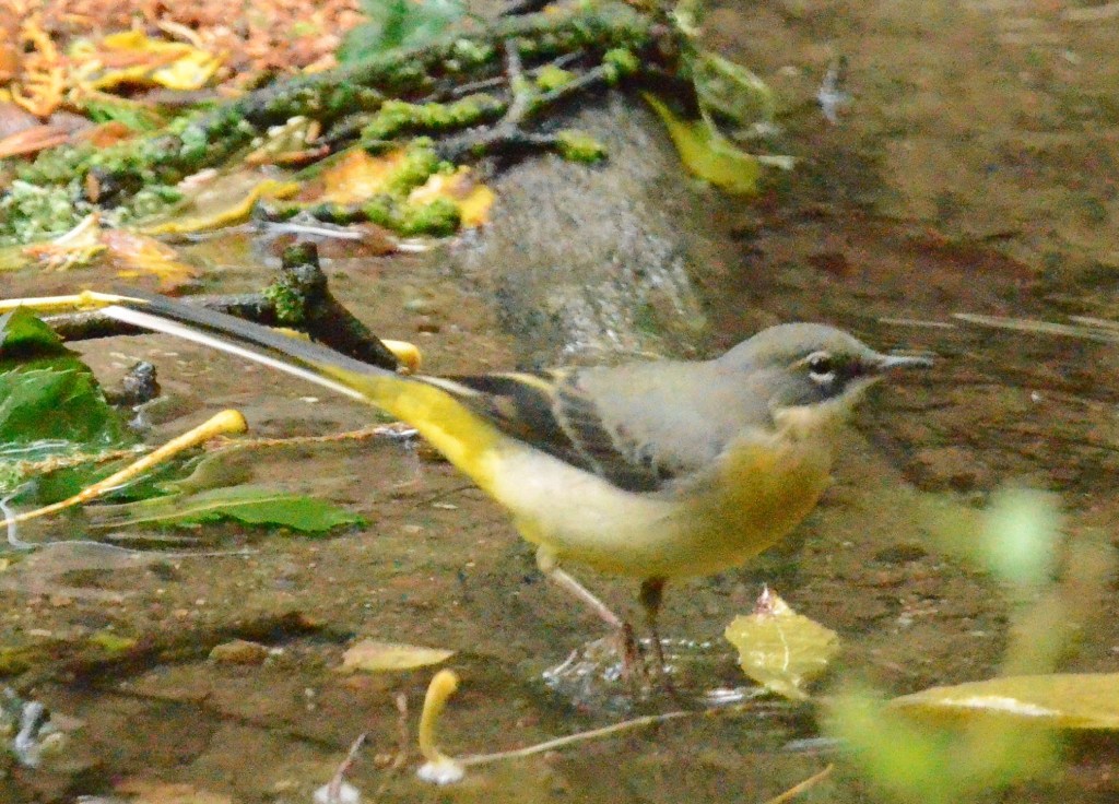
A cappuccino each at The Mill House café (Tŷ’r Felin) and a slice of gooey Millionaire’s shortbread. Very nice! At the very moment we were ready to leave, the Grey wagtail flew overhead and landed on the roof of the gift shop, only to disappear over the far side. Obviously it was not in the mood for a selfie today!