(Sunday 14th April, 2024)
Stu and I were at Loggerheads this morning. ‘But they get on so well together!’ I hear you say. So, to avoid any misunderstanding, we were both at Loggerheads Country Park in Denbighshire, which is a popular wooded area through which the river Alyn flows. (Actually, when I say flow…well, I will come back to that later).
It was virtually mud-free on the path now, and: in fact, this was the first time we walked the full length of the Leete for quite some time. It was a refreshing change to not get bogged down!
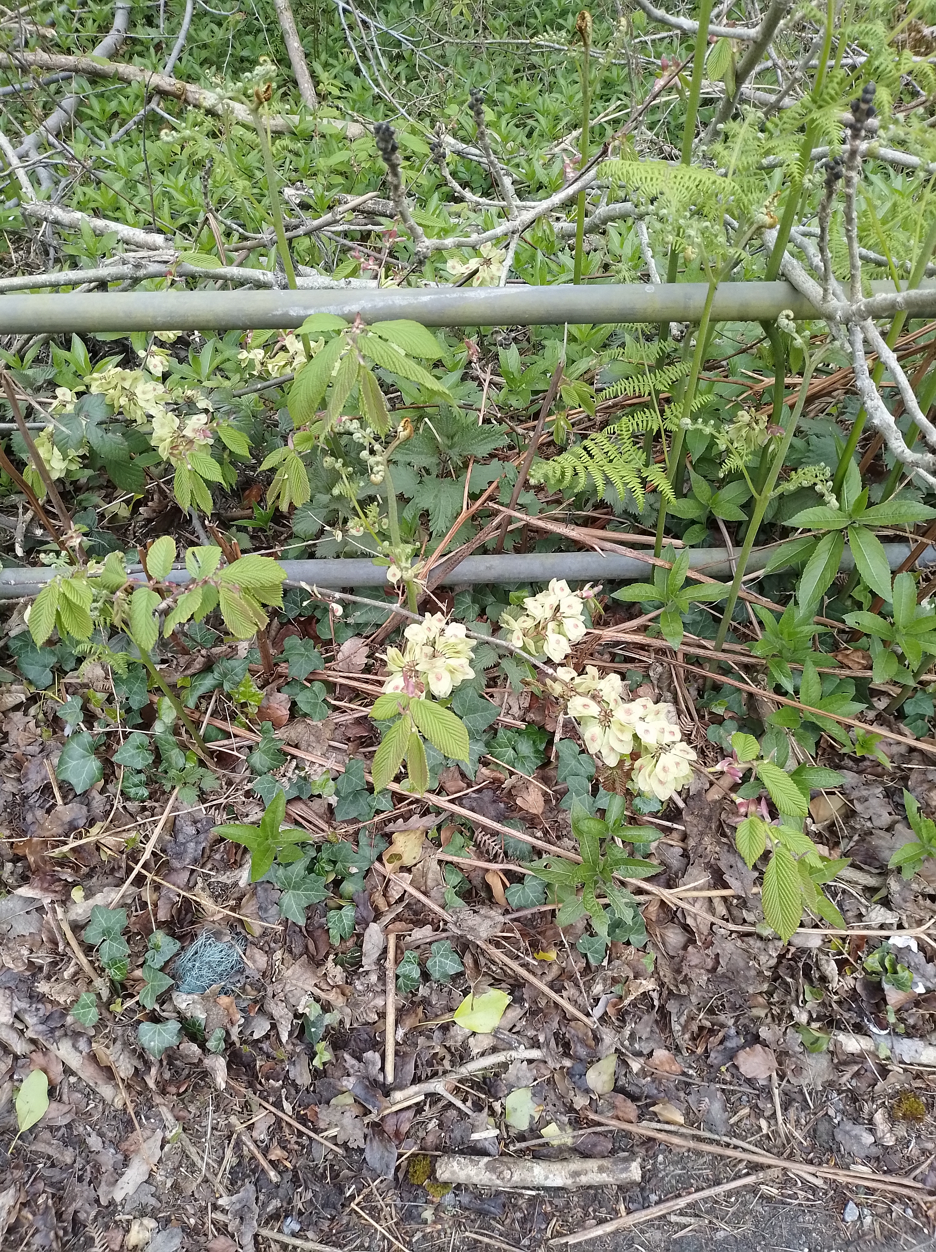
We saw blue tits, great tits, robins, blackbirds and what Stu thought was a chaffinch, and what I thought was a stonechat – I was convinced the bird had a black head but it only appeared fleetingly so its identity will remain forever unknown. The forest floor was bedecked with a range of flowering plants: there were creamy-yellow primroses, bluebells, dandelions, daisies, wood violets, celandines, campion, and the odd residual clump of daffodils. We also spotted a single group of wood anemones on the far bank before crossing the bridge to join the Leete path. Colour was everywhere and such a contrast to earlier visits in the year when, apart from the few conifers, everything was a dull and neutral shade.

Towards the end of the Leete path at the Cilcain end, we saw that many of the trees had been coppiced. Not only does this allow in more light due to the clearing of the canopy, but it also opens up the views down to the valley floor and across to Moel Famau and the Clwydian range. Coppicing is carried out regularly to encourage plant and tree growth and sustainability.
Today the river Alyn was in full spate. As I intimated at the beginning, the Alyn’s water flow is not always constant and can vary considerably; this being most noticeable during prolonged dry weather spells, when the level drops and the bed runs dry particularly at the far end of the Leete Path. ‘Leat’ (also spelled ‘lete’ and ‘leet’) is defined in the Merriam-Webster dictionary as ‘an artificial water trench leading to or from a mill’, and there is indeed an old mill by the Visitor Centre which was a corn mill and later a sawmill in its working life. River levels drop of course, but the Alyn also flows underground quite extensively at certain points because of natural gaps in the limestone bed which swallows a lot of the water, much of which is also carried into an underground cave system to the north of the park. Often, as you travel the Leete path in a north-westerly direction, the bare stones of the riverbed are the only markers of the river. I must point out though that this is mainly during prolonged dry spells, and when the temperature has risen.
